
Scheduled Maintenance
This website will undergo scheduled maintenance on Tuesday, September 10th, between 11:00 and 15:00, as well as on Thursday, September 12th, between 10:00 and 12:00. During this time, services may be temporarily disrupted. We apologise for any inconvenience.
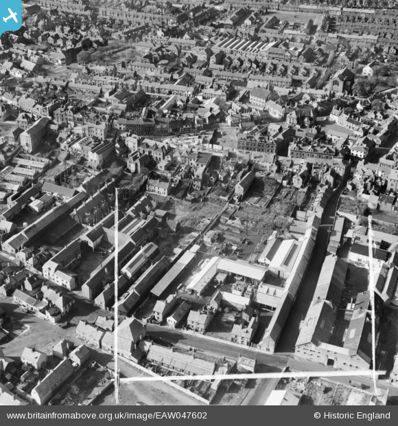
EAW047602 ENGLAND (1952). Rant Score and environs, Lowestoft, 1952. This image was marked by Aerofilms Ltd for photo editing.
© Copyright OpenStreetMap contributors and licensed by the OpenStreetMap Foundation. 2024. Cartography is licensed as CC BY-SA.
Nearby Images (12)
EAW047602

EAW047607

EAW047604

EAW047600

EAW047606

EAW047599

EAW047603

EAW047598

EAW047601

EAW047605

EPW021249

EPW060824

Details
| Title | [EAW047602] Rant Score and environs, Lowestoft, 1952. This image was marked by Aerofilms Ltd for photo editing. |
| Reference | EAW047602 |
| Date | 23-October-1952 |
| Link | |
| Place name | LOWESTOFT |
| Parish | |
| District | |
| Country | ENGLAND |
| Easting / Northing | 655170, 293593 |
| Longitude / Latitude | 1.7583254271394, 52.480115376674 |
| National Grid Reference | TM552936 |
Pins
 Harvey |
Saturday 1st of July 2023 02:42:05 PM |
