
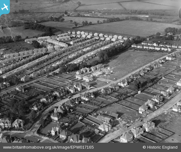
EPW017165 ENGLAND (1926). New housing around Gerard Road, Greenhill, 1926
© Copyright OpenStreetMap contributors and licensed by the OpenStreetMap Foundation. 2024. Cartography is licensed as CC BY-SA.
Nearby Images (6)
EPW017165

EPW017166

EPW017167

EPW018762

EPW018760

EPW025537

Details
| Title | [EPW017165] New housing around Gerard Road, Greenhill, 1926 |
| Reference | EPW017165 |
| Date | October-1926 |
| Link | |
| Place name | GREENHILL |
| Parish | |
| District | |
| Country | ENGLAND |
| Easting / Northing | 516268, 188384 |
| Longitude / Latitude | -0.32175364246492, 51.581832868811 |
| National Grid Reference | TQ163884 |
Pins
 Sweet Pete |
Monday 16th of March 2015 03:34:28 PM | |
Sweet Pete |
Monday 16th of March 2015 03:33:21 PM | |
Sweet Pete |
Monday 16th of March 2015 03:32:42 PM | |
Sweet Pete |
Monday 16th of March 2015 03:31:34 PM | |
Sweet Pete |
Monday 16th of March 2015 03:31:10 PM | |
Sweet Pete |
Monday 16th of March 2015 03:30:38 PM | |
Sweet Pete |
Monday 16th of March 2015 03:29:56 PM | |
Sweet Pete |
Monday 16th of March 2015 03:29:30 PM | |
Sweet Pete |
Monday 16th of March 2015 03:28:30 PM | |
Sweet Pete |
Monday 16th of March 2015 03:27:46 PM | |
Sweet Pete |
Monday 16th of March 2015 03:27:05 PM |