
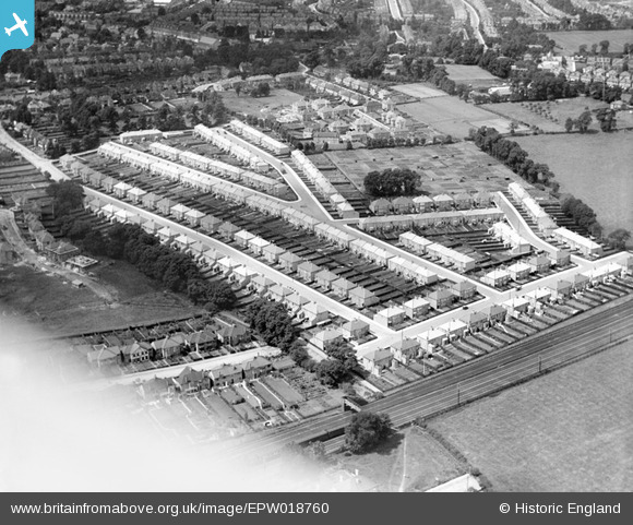
EPW018760 ENGLAND (1927). Crofts Road and environs, Greenhill, 1927
© Copyright OpenStreetMap contributors and licensed by the OpenStreetMap Foundation. 2024. Cartography is licensed as CC BY-SA.
Nearby Images (4)
EPW018760

EPW017167

EPW017166

EPW017165

Details
| Title | [EPW018760] Crofts Road and environs, Greenhill, 1927 |
| Reference | EPW018760 |
| Date | July-1927 |
| Link | |
| Place name | GREENHILL |
| Parish | |
| District | |
| Country | ENGLAND |
| Easting / Northing | 516259, 188596 |
| Longitude / Latitude | -0.32181327839142, 51.583740291871 |
| National Grid Reference | TQ163886 |
Pins
 Sweet Pete |
Monday 16th of March 2015 03:55:07 PM | |
Sweet Pete |
Monday 16th of March 2015 03:52:51 PM | |
Sweet Pete |
Monday 16th of March 2015 03:51:42 PM | |
Sweet Pete |
Monday 16th of March 2015 03:50:51 PM | |
Sweet Pete |
Thursday 26th of February 2015 03:48:37 PM | |
Sweet Pete |
Thursday 26th of February 2015 03:48:12 PM | |
Sweet Pete |
Thursday 26th of February 2015 03:47:33 PM | |
Sweet Pete |
Thursday 26th of February 2015 03:46:58 PM | |
Sweet Pete |
Thursday 26th of February 2015 03:46:40 PM | |
Sweet Pete |
Thursday 26th of February 2015 03:46:16 PM | |
Sweet Pete |
Thursday 26th of February 2015 03:45:42 PM |