
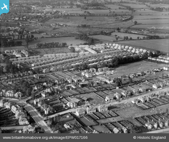
EPW017166 ENGLAND (1926). New housing around Gerard Road, Greenhill, 1926
© Copyright OpenStreetMap contributors and licensed by the OpenStreetMap Foundation. 2024. Cartography is licensed as CC BY-SA.
Nearby Images (6)
EPW017166

EPW017165

EPW017167

EPW018762

EPW018760

EPW025537

Details
| Title | [EPW017166] New housing around Gerard Road, Greenhill, 1926 |
| Reference | EPW017166 |
| Date | October-1926 |
| Link | |
| Place name | GREENHILL |
| Parish | |
| District | |
| Country | ENGLAND |
| Easting / Northing | 516222, 188406 |
| Longitude / Latitude | -0.32241002993685, 51.582040106073 |
| National Grid Reference | TQ162884 |
Pins
Be the first to add a comment to this image!