
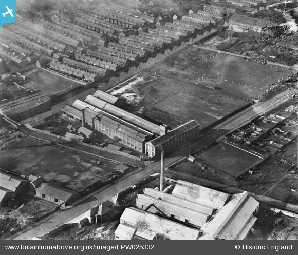
EPW025332 ENGLAND (1928). The Hawthorne Tannery, Bootle, 1928
© Copyright OpenStreetMap contributors and licensed by the OpenStreetMap Foundation. 2024. Cartography is licensed as CC BY-SA.
Nearby Images (17)
EPW025332

EPW055643

EPW055648

EPW055646

EPW055642

EPW055645

EPW055649

EPW055647

EPW055644

EPW025326

EPW025330

EPW025331

EPW025328

EPW025327

EPW025329

EPW025324

EPW025323

Details
| Title | [EPW025332] The Hawthorne Tannery, Bootle, 1928 |
| Reference | EPW025332 |
| Date | 3-November-1928 |
| Link | |
| Place name | BOOTLE |
| Parish | |
| District | |
| Country | ENGLAND |
| Easting / Northing | 334274, 396844 |
| Longitude / Latitude | -2.9901273252454, 53.463979042457 |
| National Grid Reference | SJ343968 |
Pins
 Ronnie |
Wednesday 8th of October 2014 07:12:58 AM | |
Ronnie |
Monday 9th of September 2013 08:01:12 AM | |
Ange |
Friday 31st of May 2013 09:49:40 PM | |
Ange |
Friday 31st of May 2013 09:47:10 PM | |
Ange |
Friday 31st of May 2013 09:46:39 PM |