
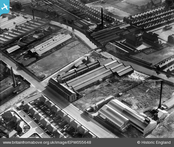
EPW055648 ENGLAND (1937). The Hawthorne Tannery, Litherland, 1937
© Copyright OpenStreetMap contributors and licensed by the OpenStreetMap Foundation. 2024. Cartography is licensed as CC BY-SA.
Nearby Images (17)
EPW055648

EPW055642

EPW055643

EPW055645

EPW055646

EPW025332

EPW055647

EPW055649

EPW055644

EPW025326

EPW025330

EPW025328

EPW025331

EPW025327

EPW025329

EPW025324

EPW025323

Details
| Title | [EPW055648] The Hawthorne Tannery, Litherland, 1937 |
| Reference | EPW055648 |
| Date | 30-September-1937 |
| Link | |
| Place name | LITHERLAND |
| Parish | |
| District | |
| Country | ENGLAND |
| Easting / Northing | 334270, 396809 |
| Longitude / Latitude | -2.9901802524, 53.463663957147 |
| National Grid Reference | SJ343968 |
Pins
 Ronnie |
Monday 9th of September 2013 04:46:24 PM | |
Ronnie |
Monday 9th of September 2013 04:45:58 PM | |
Ronnie |
Monday 9th of September 2013 04:44:58 PM | |
Ronnie |
Monday 9th of September 2013 04:42:49 PM | |
Ronnie |
Monday 9th of September 2013 04:42:05 PM | |
Ronnie |
Monday 9th of September 2013 04:40:44 PM | |
Ronnie |
Monday 9th of September 2013 04:39:45 PM | |
Ronnie |
Monday 9th of September 2013 04:38:50 PM | |
Ronnie |
Monday 9th of September 2013 04:38:00 PM |