
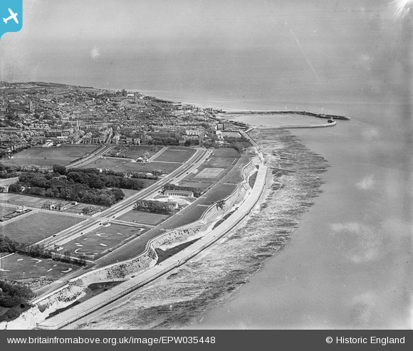
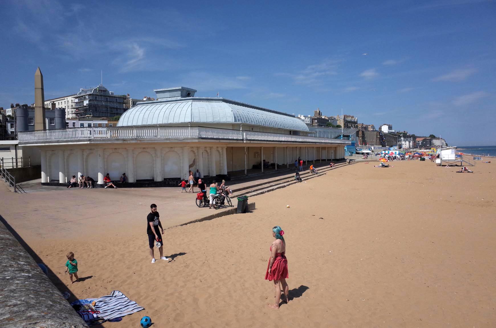
EPW035448 ENGLAND (1931). West Cliff, the Royal Esplanade, the Royal Harbour and the town, Ramsgate, 1931
© Copyright OpenStreetMap contributors and licensed by the OpenStreetMap Foundation. 2024. Cartography is licensed as CC BY-SA.
Nearby Images (13)
EPW035448

EPW042858

EAW009001

EAW009022

EAW009026

EAW009000

EPW039347

EAW009027

EPW042860

EPW039355

EPW042863

EAW009018

EAW009019

Details
| Title | [EPW035448] West Cliff, the Royal Esplanade, the Royal Harbour and the town, Ramsgate, 1931 |
| Reference | EPW035448 |
| Date | May-1931 |
| Link | |
| Place name | RAMSGATE |
| Parish | RAMSGATE |
| District | |
| Country | ENGLAND |
| Easting / Northing | 637034, 164068 |
| Longitude / Latitude | 1.4026537268774, 51.32572817421 |
| National Grid Reference | TR370641 |
Pins
 Alan McFaden |
Monday 13th of October 2014 10:11:39 AM |
User Comment Contributions
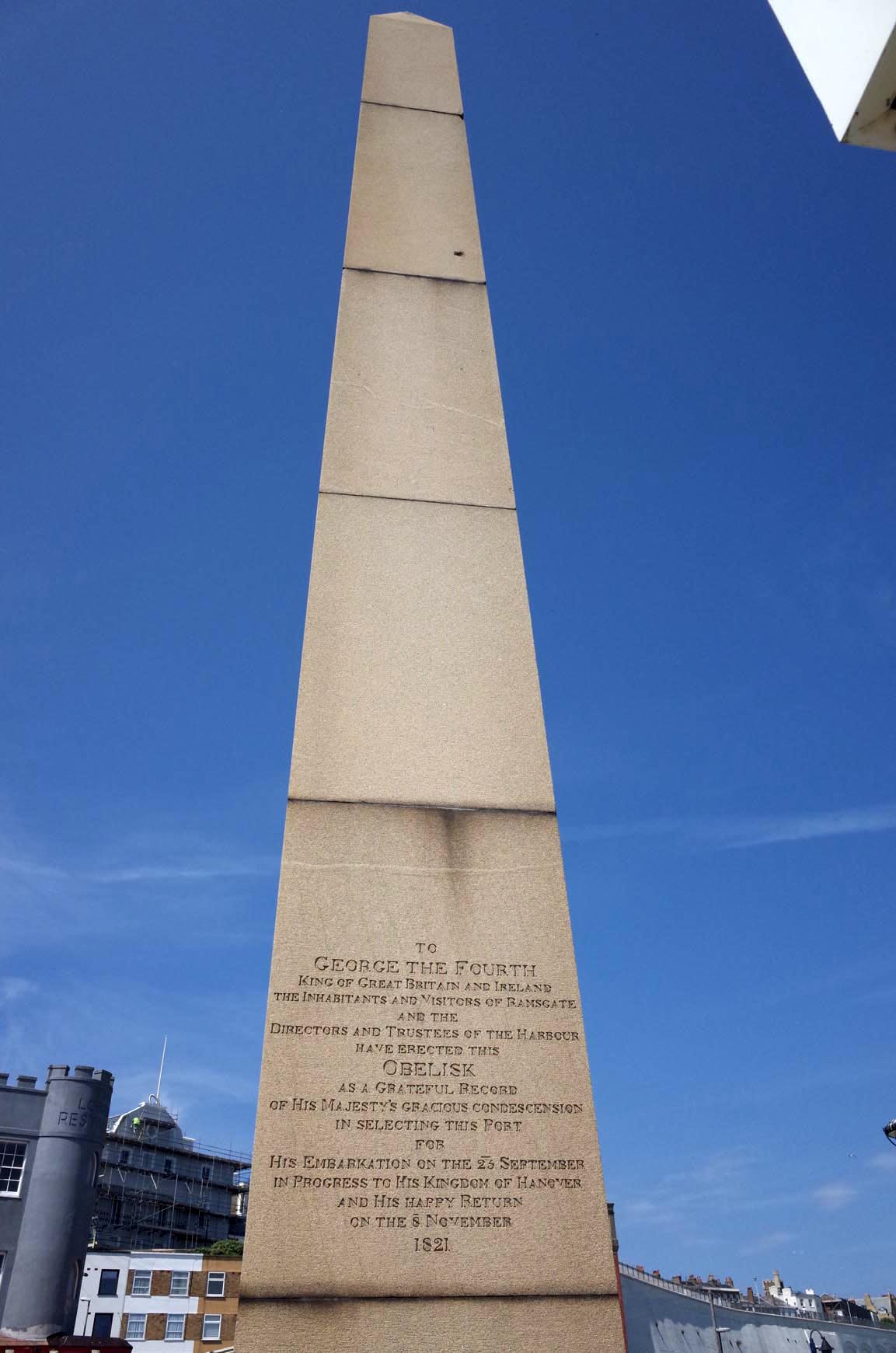 Ramsgate George 1V Monument |
Alan McFaden |
Monday 13th of October 2014 10:13:42 AM |
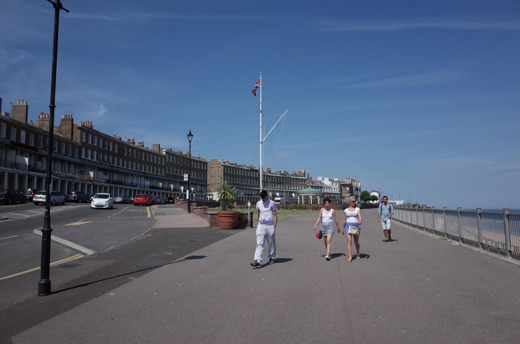 Ramsgate Wellington Cresent Area |
Alan McFaden |
Monday 13th of October 2014 10:13:16 AM |
 Ramsgate Albion Place Gardens |
Alan McFaden |
Monday 13th of October 2014 10:12:51 AM |
 Ramsgate Beach |
Alan McFaden |
Monday 13th of October 2014 10:12:23 AM |
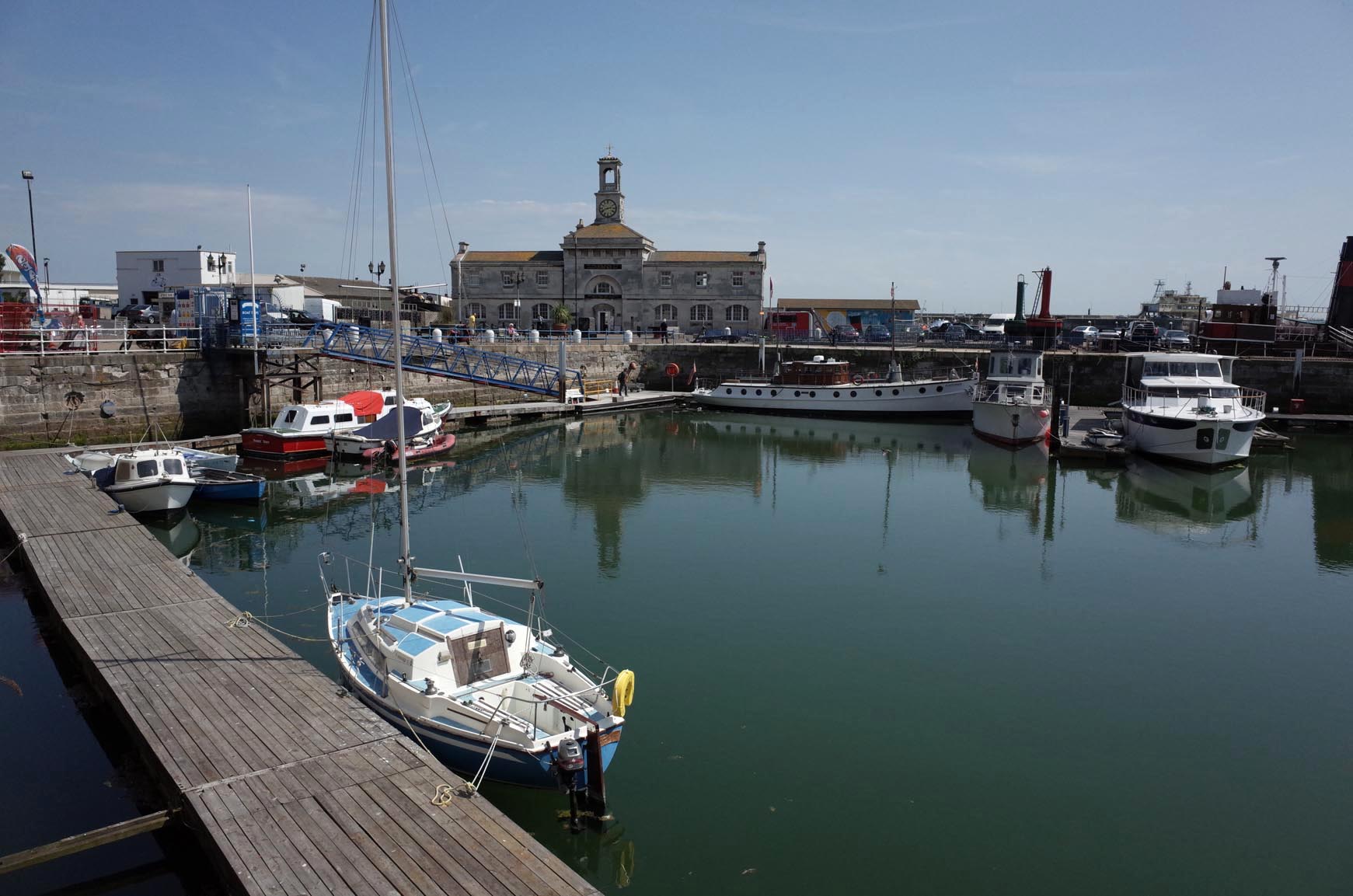 Ramsgate Harbour |
Alan McFaden |
Monday 13th of October 2014 10:12:03 AM |