Scheduled Maintenance
This website will undergo scheduled maintenance on Tuesday, September 10th, between 11:00 and 15:00, as well as on Thursday, September 12th, between 10:00 and 12:00. During this time, services may be temporarily disrupted. We apologise for any inconvenience.
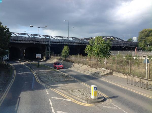
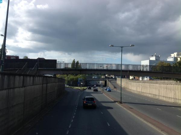
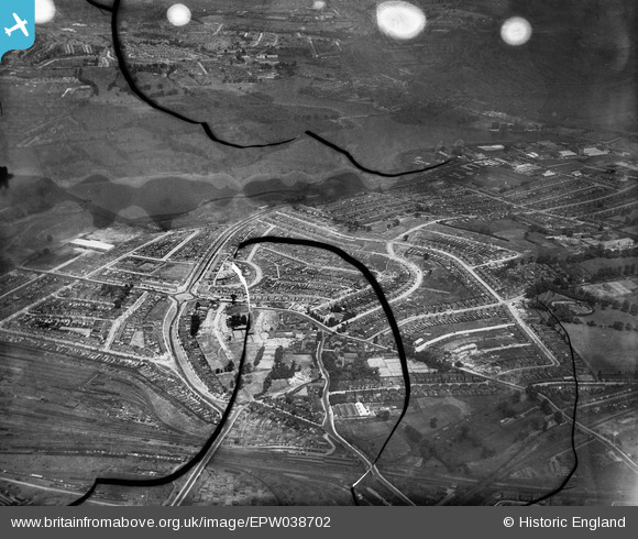
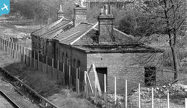
EPW038702 ENGLAND (1932). The Circle and housing off the North Circular Road, Neasden, from the south, 1932. This image has been produced from a damaged negative.
© Copyright OpenStreetMap contributors and licensed by the OpenStreetMap Foundation. 2024. Cartography is licensed as CC BY-SA.
Nearby Images (4)
EPW038702

EPW056898

EPW056897

EPW046500

Details
| Title | [EPW038702] The Circle and housing off the North Circular Road, Neasden, from the south, 1932. This image has been produced from a damaged negative. |
| Reference | EPW038702 |
| Date | June-1932 |
| Link | |
| Place name | NEASDEN |
| Parish | |
| District | |
| Country | ENGLAND |
| Easting / Northing | 521424, 185784 |
| Longitude / Latitude | -0.24826575005659, 51.557376118374 |
| National Grid Reference | TQ214858 |
Pins
 |
 Leslie B |
Sunday 2nd of December 2018 06:23:53 PM |
 Class31 |
Monday 13th of October 2014 11:45:44 AM | |
Class31 |
Monday 13th of October 2014 11:44:55 AM | |
Class31 |
Sunday 2nd of March 2014 11:45:09 PM |