Scheduled Maintenance
This website will undergo scheduled maintenance on Tuesday, August 6th, between 11:00 and 15:00, as well as on Thursday, August 8th, between 10:00 and 12:00.
During this time, services may be temporarily disrupted.
We apologise for any inconvenience.
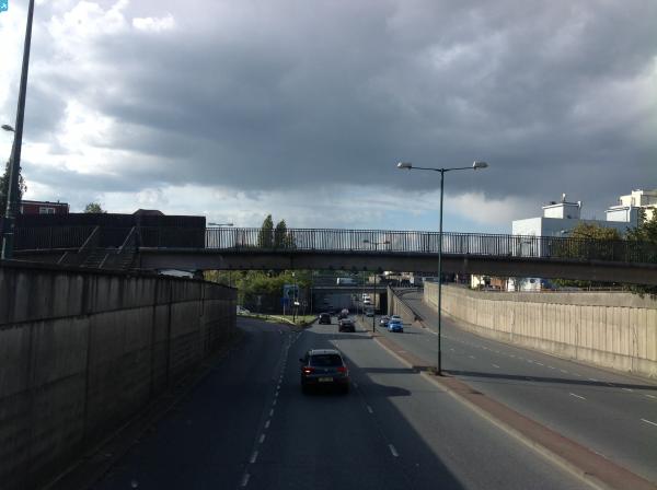
EPW046500 ENGLAND (1935). The North Circular Road and environs, Neasden, from the south-east, 1935

© Copyright OpenStreetMap contributors and licensed by the OpenStreetMap Foundation. 2024. Cartography is licensed as CC BY-SA.
Nearby Images (4)
EPW046500

EPW038702

EPW046504

EPW046502

Details
| Title | [EPW046500] The North Circular Road and environs, Neasden, from the south-east, 1935 |
| Reference | EPW046500 |
| Date | January-1935 |
| Link | |
| Place name | NEASDEN |
| Parish | |
| District | |
| Country | ENGLAND |
| Easting / Northing | 521235, 185732 |
| Longitude / Latitude | -0.25100893965242, 51.556949390762 |
| National Grid Reference | TQ212857 |
Pins
 Class31 |
Monday 13th of October 2014 11:59:32 AM | |
Class31 |
Sunday 2nd of March 2014 11:48:02 PM | |
Class31 |
Sunday 2nd of March 2014 11:47:38 PM | |
 Gladstone Hay |
Thursday 28th of November 2013 10:50:43 AM | |
Gladstone Hay |
Thursday 28th of November 2013 10:49:45 AM |