
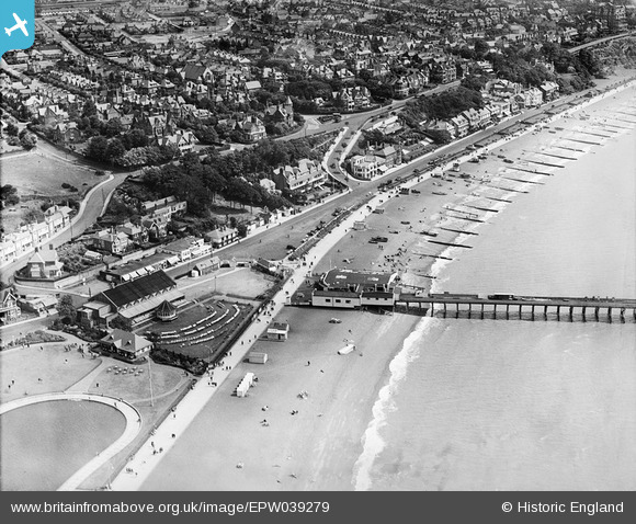
EPW039279 ENGLAND (1932). Felixstowe Pier, Hall, Undercliff Road West and environs, Felixstowe, 1932
© Copyright OpenStreetMap contributors and licensed by the OpenStreetMap Foundation. 2024. Cartography is licensed as CC BY-SA.
Nearby Images (9)
EPW039279

EAW024310

EPW049328

EPW001921

EAW024305

EPW001918

EAW024306

EAW038358

EPW016541

Details
| Title | [EPW039279] Felixstowe Pier, Hall, Undercliff Road West and environs, Felixstowe, 1932 |
| Reference | EPW039279 |
| Date | July-1932 |
| Link | |
| Place name | FELIXSTOWE |
| Parish | FELIXSTOWE |
| District | |
| Country | ENGLAND |
| Easting / Northing | 630036, 234168 |
| Longitude / Latitude | 1.3484652080797, 51.95789833096 |
| National Grid Reference | TM300342 |
Pins
Be the first to add a comment to this image!