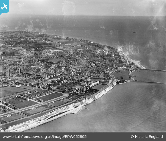
EPW052895 ENGLAND (1937). The town, Ramsgate, from the south-west, 1937
© Copyright OpenStreetMap contributors and licensed by the OpenStreetMap Foundation. 2024. Cartography is licensed as CC BY-SA.
Nearby Images (12)
EPW052895

EPW000097

EPW000090

EAW009025

EAW009023

EPW000094

EAW009021

EAW006625

EPW000081

EPW052887

EPW013299

EPW000601

Details
| Title | [EPW052895] The town, Ramsgate, from the south-west, 1937 |
| Reference | EPW052895 |
| Date | 24-April-1937 |
| Link | |
| Place name | RAMSGATE |
| Parish | RAMSGATE |
| District | |
| Country | ENGLAND |
| Easting / Northing | 637680, 164296 |
| Longitude / Latitude | 1.4120615751253, 51.327505334353 |
| National Grid Reference | TR377643 |
Pins
 242_Cat |
Wednesday 16th of March 2016 12:42:27 PM | |
Croxley history |
Tuesday 26th of August 2014 05:27:58 PM | |
 Alan McFaden |
Sunday 13th of July 2014 05:50:41 PM | |
Alan McFaden |
Sunday 13th of July 2014 05:49:49 PM | |
Alan McFaden |
Sunday 13th of July 2014 05:49:01 PM | |
Alan McFaden |
Sunday 13th of July 2014 05:48:27 PM | |
Alan McFaden |
Sunday 13th of July 2014 05:47:50 PM |