
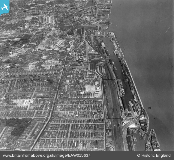
EAW015637 ENGLAND (1948). The Albert and William Wright Docks, Hessle Road and environs, Kingston upon Hull, 1948. This image has been produced from a print.
© Copyright OpenStreetMap contributors and licensed by the OpenStreetMap Foundation. 2025. Cartography is licensed as CC BY-SA.
Nearby Images (27)
EAW015637

EAW043295

EAW035529

EAW043294

EAW035533

EAW043297

EAW043296

EAW043300

EAW035528

EPW009399

EAW031238

EAW043299

EAW031234

EAW031237

EAW035530

EAW035531

EAW031239

EAW035532

EAW031236

EAW035536

EAW031241

EAW035534

EAW031240

EAW031235

EAW031233

EPW055050

EAW043298

Details
| Title | [EAW015637] The Albert and William Wright Docks, Hessle Road and environs, Kingston upon Hull, 1948. This image has been produced from a print. |
| Reference | EAW015637 |
| Date | 18-May-1948 |
| Link | |
| Place name | KINGSTON UPON HULL |
| Parish | |
| District | |
| Country | ENGLAND |
| Easting / Northing | 508481, 427741 |
| Longitude / Latitude | -0.35527187222603, 53.734537286115 |
| National Grid Reference | TA085277 |
Pins
 redmist |
Thursday 21st of October 2021 02:57:38 PM | |
redmist |
Thursday 21st of October 2021 02:55:26 PM | |
redmist |
Thursday 21st of October 2021 02:54:52 PM | |
redmist |
Thursday 21st of October 2021 02:52:28 PM | |
SPRINGHEAD |
Friday 9th of August 2019 12:53:10 AM | |
John Wass |
Wednesday 4th of July 2018 08:26:27 PM | |
John Wass |
Saturday 5th of August 2017 07:33:00 PM | |
John Wass |
Saturday 5th of August 2017 07:32:19 PM | |
John Wass |
Saturday 5th of August 2017 07:28:39 PM | |
John Wass |
Friday 26th of December 2014 08:23:21 PM | |
John Wass |
Friday 26th of December 2014 08:20:49 PM | |
John Wass |
Friday 26th of December 2014 08:20:18 PM | |
John Wass |
Wednesday 26th of November 2014 08:38:30 PM |