
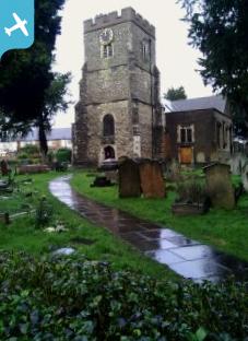
EAW020693 ENGLAND (1948). Edgware and the view towards Borehamwood, Edgware, from the south, 1948

© Copyright OpenStreetMap contributors and licensed by the OpenStreetMap Foundation. 2025. Cartography is licensed as CC BY-SA.
Nearby Images (13)
EAW020693

EPW016512

EPW005277

EPW005281

EAW020692

EPW005282

EPW034546

EPW015982

EPW031556

EPW034622

EPW015987

EAW020695

EPW034554

Details
| Title | [EAW020693] Edgware and the view towards Borehamwood, Edgware, from the south, 1948 |
| Reference | EAW020693 |
| Date | 17-December-1948 |
| Link | |
| Place name | EDGWARE |
| Parish | |
| District | |
| Country | ENGLAND |
| Easting / Northing | 519343, 191565 |
| Longitude / Latitude | -0.27630725337459, 51.609781743147 |
| National Grid Reference | TQ193916 |
Pins
 Paul Berry |
Wednesday 15th of November 2017 11:04:52 PM | |
Paul Berry |
Wednesday 15th of November 2017 10:55:28 PM | |
mc52 |
Friday 5th of February 2016 09:37:26 PM | |
mc52 |
Friday 5th of February 2016 09:36:38 PM | |
 Class31 |
Wednesday 30th of April 2014 09:31:23 AM | |
Class31 |
Friday 21st of February 2014 12:32:32 PM | |
Luas |
Thursday 20th of February 2014 02:17:29 PM | |
Luas |
Thursday 20th of February 2014 02:16:40 PM | |
colsouth111 |
Monday 10th of February 2014 07:16:56 PM | |
colsouth111 |
Saturday 8th of February 2014 08:30:20 AM | |
colsouth111 |
Saturday 8th of February 2014 08:21:40 AM | |
The White Lion ground, formerly home to Edgware Rugby Club. The football club played here 1939-2008. |
gBr |
Tuesday 14th of February 2017 12:00:07 AM |
colsouth111 |
Saturday 8th of February 2014 08:20:43 AM | |
My dad said that Nat Gonella's mum was a regular here. |
colsouth111 |
Monday 10th of February 2014 07:13:51 PM |
colsouth111 |
Saturday 8th of February 2014 08:19:05 AM | |
colsouth111 |
Saturday 8th of February 2014 08:16:50 AM |

User Comment Contributions
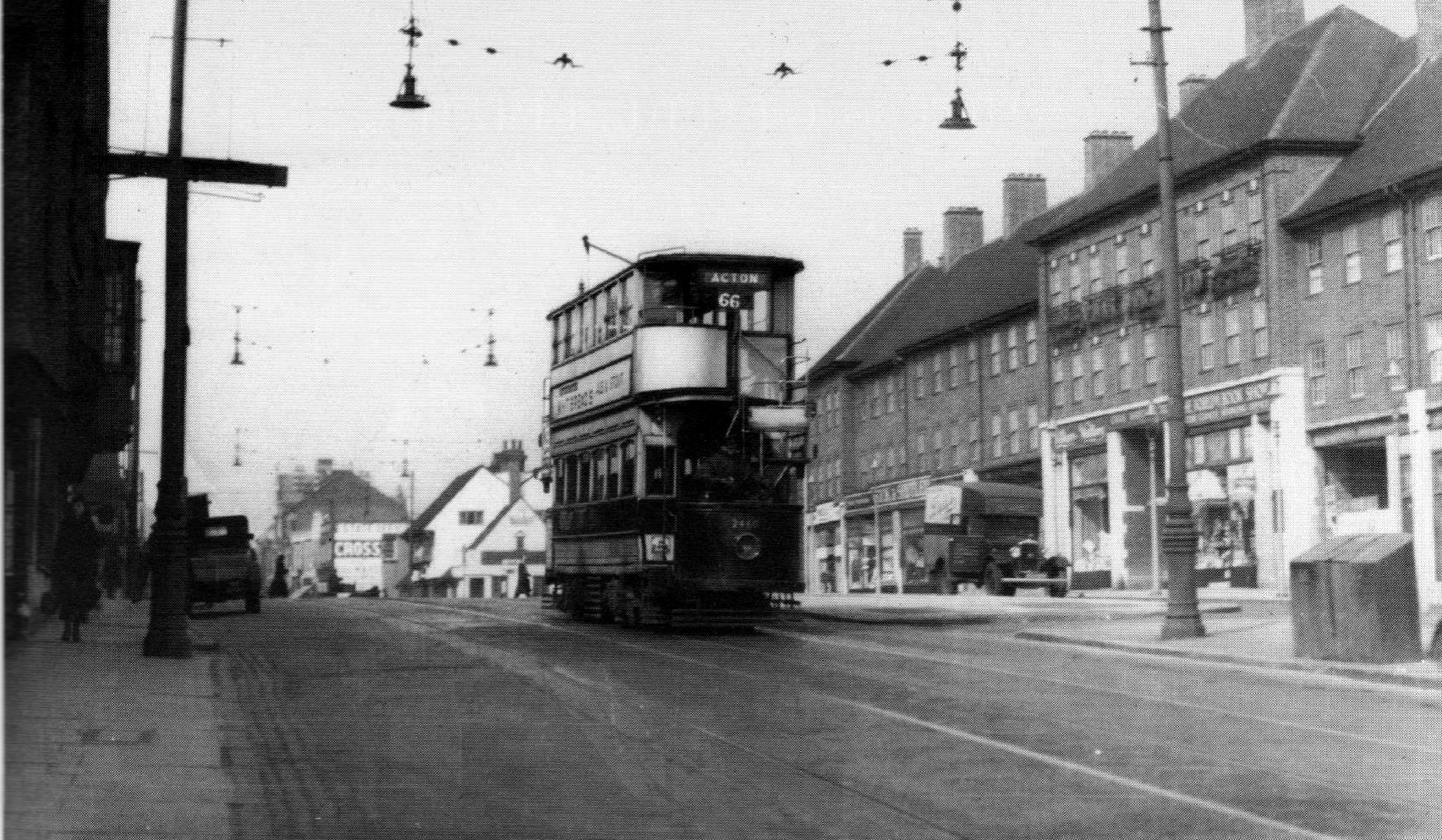 A tram on route 66 heading south along the Edgware Road to its destination of Acton in Spring 1935. There was just over a year to go before trams were replaced with trolleybuses and this route then became 666. The Boot public house is in the background and the shops on the right were fairly new then |
Wordsmith52 |
Wednesday 8th of October 2014 07:24:48 PM |