
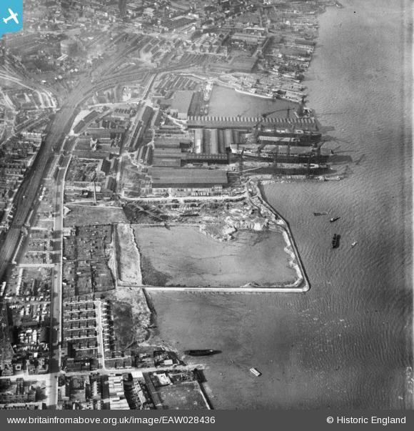
EAW028436 ENGLAND (1950). Cammell Laird's Shipbuilding and Engineering Works, Rock Ferry, 1950
© Copyright OpenStreetMap contributors and licensed by the OpenStreetMap Foundation. 2025. Cartography is licensed as CC BY-SA.
Nearby Images (16)
EAW028436

EAW030642

EAW029262

EAW030645

EAW028435

EPW004028

EAW029260

EAW028438

EAW028441

EAW028442

EAW030636

EAW030643

EPW004021

EPW050657

EAW029268

EAW029261

Details
| Title | [EAW028436] Cammell Laird's Shipbuilding and Engineering Works, Rock Ferry, 1950 |
| Reference | EAW028436 |
| Date | 25-March-1950 |
| Link | |
| Place name | ROCK FERRY |
| Parish | |
| District | |
| Country | ENGLAND |
| Easting / Northing | 332992, 387616 |
| Longitude / Latitude | -3.0074738770506, 53.380874499445 |
| National Grid Reference | SJ330876 |
Pins
 Coventry kid |
Thursday 30th of April 2015 03:44:03 PM | |
beast66606 |
Tuesday 14th of October 2014 10:48:05 AM | |
beast66606 |
Tuesday 14th of October 2014 10:47:31 AM |