
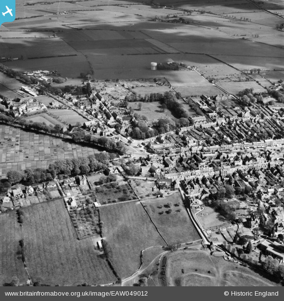
EAW049012 ENGLAND (1953). The northern part of the town, Chipping Norton, 1953
© Copyright OpenStreetMap contributors and licensed by the OpenStreetMap Foundation. 2025. Cartography is licensed as CC BY-SA.
Nearby Images (8)
EAW049012

EPW026910

EAW049013

EAW049014

EPW026913

EPW026911

EAW049010

EPW026905

Details
| Title | [EAW049012] The northern part of the town, Chipping Norton, 1953 |
| Reference | EAW049012 |
| Date | 5-May-1953 |
| Link | |
| Place name | CHIPPING NORTON |
| Parish | CHIPPING NORTON |
| District | |
| Country | ENGLAND |
| Easting / Northing | 431507, 227331 |
| Longitude / Latitude | -1.5415875922384, 51.943154151882 |
| National Grid Reference | SP315273 |
Pins
Be the first to add a comment to this image!