
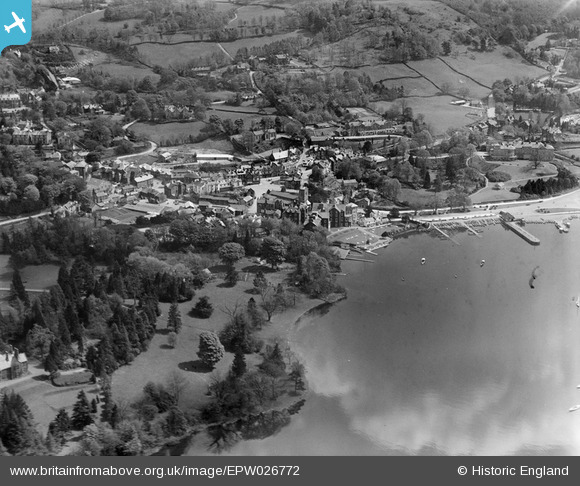
EPW026772 ENGLAND (1929). St Martin's Church and the town, Bowness-on-Windermere, 1929
© Copyright OpenStreetMap contributors and licensed by the OpenStreetMap Foundation. 2025. Cartography is licensed as CC BY-SA.
Nearby Images (14)
EPW026772

EPW025637

EPW026740

EAW025637

EPW004033

EPW026741

EAW023625

EPW026769

EPW026773

EPW004032

EAW025636

EAW026244

EPW026737

EPW004037

Details
| Title | [EPW026772] St Martin's Church and the town, Bowness-on-Windermere, 1929 |
| Reference | EPW026772 |
| Date | 16-May-1929 |
| Link | |
| Place name | BOWNESS-ON-WINDERMERE |
| Parish | WINDERMERE |
| District | |
| Country | ENGLAND |
| Easting / Northing | 340201, 496929 |
| Longitude / Latitude | -2.9204257136902, 54.364219684707 |
| National Grid Reference | SD402969 |
Pins
Be the first to add a comment to this image!