
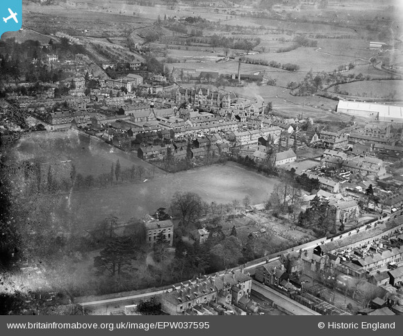
EPW037595 ENGLAND (1932). St John's Street and environs, Kidderminster, 1932
© Copyright OpenStreetMap contributors and licensed by the OpenStreetMap Foundation. 2025. Cartography is licensed as CC BY-SA.
Nearby Images (4)
EPW037595

EPW037597

EPW034231

EPW037596

Details
| Title | [EPW037595] St John's Street and environs, Kidderminster, 1932 |
| Reference | EPW037595 |
| Date | April-1932 |
| Link | |
| Place name | KIDDERMINSTER |
| Parish | |
| District | |
| Country | ENGLAND |
| Easting / Northing | 382463, 276770 |
| Longitude / Latitude | -2.257713696577, 52.388295726174 |
| National Grid Reference | SO825768 |
Pins
Be the first to add a comment to this image!