
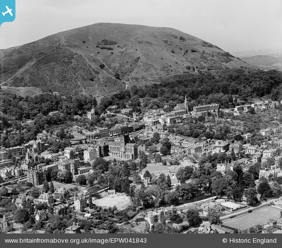
EPW041843 ENGLAND (1933). The town centre, Great Malvern, 1933
© Copyright OpenStreetMap contributors and licensed by the OpenStreetMap Foundation. 2025. Cartography is licensed as CC BY-SA.
Nearby Images (7)
EPW041843

EAW006884

EPW041840

EPW061946

EPW005393

EPW006028

EAW006883

Details
| Title | [EPW041843] The town centre, Great Malvern, 1933 |
| Reference | EPW041843 |
| Date | June-1933 |
| Link | |
| Place name | GREAT MALVERN |
| Parish | MALVERN |
| District | |
| Country | ENGLAND |
| Easting / Northing | 377440, 246032 |
| Longitude / Latitude | -2.3294738391273, 52.111739986065 |
| National Grid Reference | SO774460 |
Pins
Be the first to add a comment to this image!