
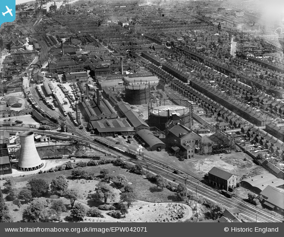
EPW042071 ENGLAND (1933). Grimsby Gas Works and environs, Grimsby, 1933
© Copyright OpenStreetMap contributors and licensed by the OpenStreetMap Foundation. 2024. Cartography is licensed as CC BY-SA.
Nearby Images (14)
EPW042071

EPW042066

EPW042068

EPW042069

EPW042067

EPW053392

EAW052054

EPW042804

EAW052052

EPW042070

EAW052049

EAW052051

EAW052053

EPW042807

Details
| Title | [EPW042071] Grimsby Gas Works and environs, Grimsby, 1933 |
| Reference | EPW042071 |
| Date | June-1933 |
| Link | |
| Place name | GRIMSBY |
| Parish | |
| District | |
| Country | ENGLAND |
| Easting / Northing | 527368, 409136 |
| Longitude / Latitude | -0.076706860991137, 53.563116531984 |
| National Grid Reference | TA274091 |
Pins
 Grimberian |
Friday 20th of May 2016 01:06:48 PM | |
 Class31 |
Tuesday 4th of March 2014 08:55:32 AM | |
Class31 |
Tuesday 4th of March 2014 08:52:24 AM |