
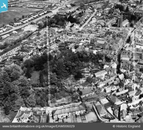
EAW006029 ENGLAND (1947). Totnes Castle and the town centre, Totnes, 1947. This image has been produced from a print marked by Aerofilms Ltd for photo-editing.
© Copyright OpenStreetMap contributors and licensed by the OpenStreetMap Foundation. 2025. Cartography is licensed as CC BY-SA.
Nearby Images (8)
EAW006029

EAW006033

EAW006030

EAW006031

EPW011315

EPW054791

EPW054790

EAW006032

Details
| Title | [EAW006029] Totnes Castle and the town centre, Totnes, 1947. This image has been produced from a print marked by Aerofilms Ltd for photo-editing. |
| Reference | EAW006029 |
| Date | 18-May-1947 |
| Link | |
| Place name | TOTNES |
| Parish | TOTNES |
| District | |
| Country | ENGLAND |
| Easting / Northing | 280008, 60505 |
| Longitude / Latitude | -3.6896751236911, 50.431515161227 |
| National Grid Reference | SX800605 |
Pins
Be the first to add a comment to this image!