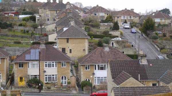
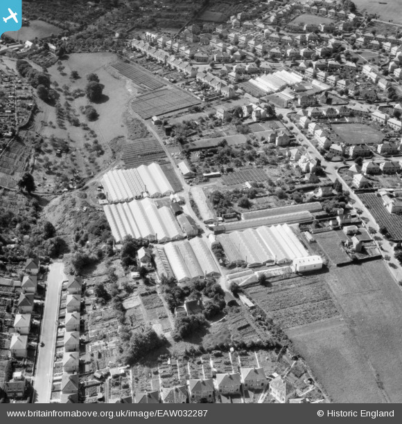
EAW032287 ENGLAND (1950). Nursery between Southdown Road and Coronation Avenue, Southdown, 1950
© Copyright OpenStreetMap contributors and licensed by the OpenStreetMap Foundation. 2025. Cartography is licensed as CC BY-SA.
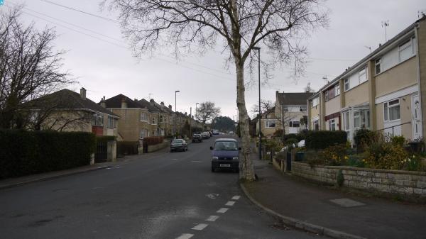
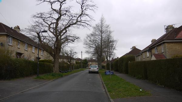
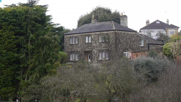
Nearby Images (18)
EAW032287

EAW032291

EAW026390

EAW032292

EAW032289

EAW026394

EAW026393

EAW026389

EAW026392

EAW026396

EAW026395

EPW022216

EAW026391

EAW032286

EAW032288

EAW032290

EPW022215

EPW048401

Details
| Title | [EAW032287] Nursery between Southdown Road and Coronation Avenue, Southdown, 1950 |
| Reference | EAW032287 |
| Date | 5-September-1950 |
| Link | |
| Place name | SOUTHDOWN |
| Parish | |
| District | |
| Country | ENGLAND |
| Easting / Northing | 373044, 163635 |
| Longitude / Latitude | -2.387286164692, 51.370635211643 |
| National Grid Reference | ST730636 |
Pins
 Class31 |
Friday 27th of March 2015 05:40:06 PM | |
Class31 |
Friday 27th of March 2015 05:38:47 PM | |
Class31 |
Friday 27th of March 2015 05:37:56 PM | |
Class31 |
Friday 27th of March 2015 05:36:02 PM | |
Class31 |
Friday 27th of March 2015 05:34:26 PM | |
Class31 |
Friday 27th of March 2015 05:33:26 PM | |
Class31 |
Friday 27th of March 2015 05:32:47 PM |