
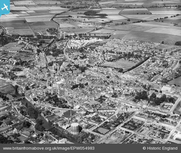
EPW054983 ENGLAND (1937). The town, Stamford, from the south-east, 1937
© Copyright OpenStreetMap contributors and licensed by the OpenStreetMap Foundation. 2025. Cartography is licensed as CC BY-SA.
Nearby Images (12)
EPW054983

EPW054984

EAW008131

EAW008132

EAW008127

EAW008126

EAW008130

EAW008128

EAW008129

EAW008125

EAW013391

EAW033044

Details
| Title | [EPW054983] The town, Stamford, from the south-east, 1937 |
| Reference | EPW054983 |
| Date | 17-August-1937 |
| Link | |
| Place name | STAMFORD |
| Parish | STAMFORD |
| District | |
| Country | ENGLAND |
| Easting / Northing | 503291, 307087 |
| Longitude / Latitude | -0.47295635950412, 52.651316063668 |
| National Grid Reference | TF033071 |
