
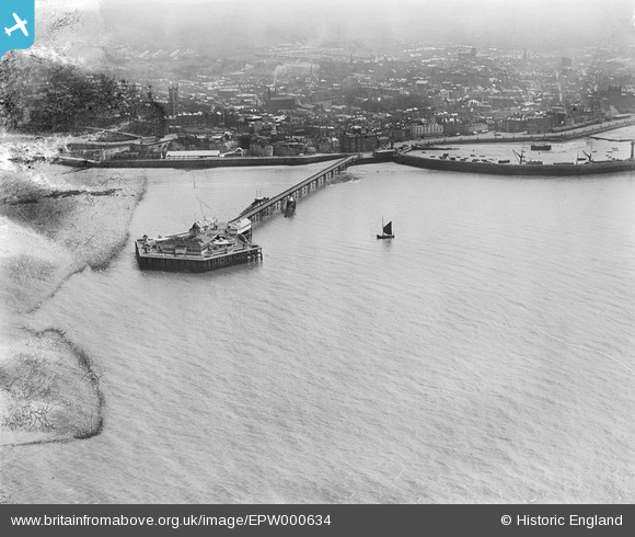
EPW000634 ENGLAND (1920). The Jetty, Margate, from the north-west, 1920
© Copyright OpenStreetMap contributors and licensed by the OpenStreetMap Foundation. 2024. Cartography is licensed as CC BY-SA.
Nearby Images (7)
EPW000634

EPW009163

EPW009240

EPW048849

EPW000619

EPW018601

EPW035467

Details
| Title | [EPW000634] The Jetty, Margate, from the north-west, 1920 |
| Reference | EPW000634 |
| Date | April-1920 |
| Link | |
| Place name | MARGATE |
| Parish | |
| District | |
| Country | ENGLAND |
| Easting / Northing | 635137, 171635 |
| Longitude / Latitude | 1.3804754836405, 51.39444508084 |
| National Grid Reference | TR351716 |
Pins
Be the first to add a comment to this image!