
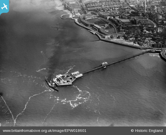
EPW018601 ENGLAND (1927). The Pier, Margate, 1927. This image has been produced from a print.
© Copyright OpenStreetMap contributors and licensed by the OpenStreetMap Foundation. 2024. Cartography is licensed as CC BY-SA.
Nearby Images (11)
EPW018601

EPW000619

EPW035467

EPW009163

EPW048849

EPW048851

EAW015840

EPW000627

EPW000634

EPW048850

EPW000633

Details
| Title | [EPW018601] The Pier, Margate, 1927. This image has been produced from a print. |
| Reference | EPW018601 |
| Date | 22-June-1927 |
| Link | |
| Place name | MARGATE |
| Parish | |
| District | |
| Country | ENGLAND |
| Easting / Northing | 635332, 171529 |
| Longitude / Latitude | 1.3832034075672, 51.393412683273 |
| National Grid Reference | TR353715 |
Pins
 mannidaze |
Friday 17th of January 2020 09:21:26 PM |