
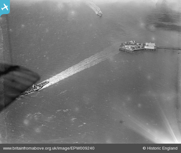
EPW009240 ENGLAND (1923). The Jetty Extension, Margate, 1923
© Copyright OpenStreetMap contributors and licensed by the OpenStreetMap Foundation. 2024. Cartography is licensed as CC BY-SA.
Nearby Images (6)
EPW009240

EPW000634

EPW009163

EPW000619

EPW048849

EAW015840

Details
| Title | [EPW009240] The Jetty Extension, Margate, 1923 |
| Reference | EPW009240 |
| Date | 1923 |
| Link | |
| Place name | MARGATE |
| Parish | |
| District | |
| Country | ENGLAND |
| Easting / Northing | 635072, 171514 |
| Longitude / Latitude | 1.3794626254718, 51.393385792957 |
| National Grid Reference | TR351715 |
Pins
Be the first to add a comment to this image!